
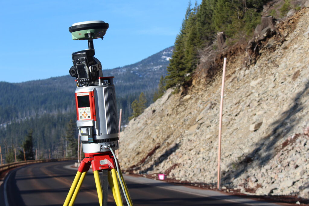
At Enermatrix, we combine experience with the use of reality capture and geomatics technology to reduce project complexity and maximize value to our client.
Our reality capture services utilize the latest technologies, including terrestrial and mobile laser scanning LiDAR, photogrammetry, and drone imaging for remote data collection, topographic mapping, aerial imaging, terrain analysis, virtual site tours, inspections; and 3D model creation. Whether you are in architecture, construction, engineering, or any other industry, our reality capture services provide you with the data you need to make informed decisions and drive your projects forward.
With our Geomatics services, we go beyond simply capturing data. Using geographic information systems (GIS) we provide innovative solutions for a wide variety of applications such as corridor mapping for transportation and utilities, flood risk mapping, municipal planning and landscape architecture, land use/land cover mapping, landfill development and visualization of development impact.